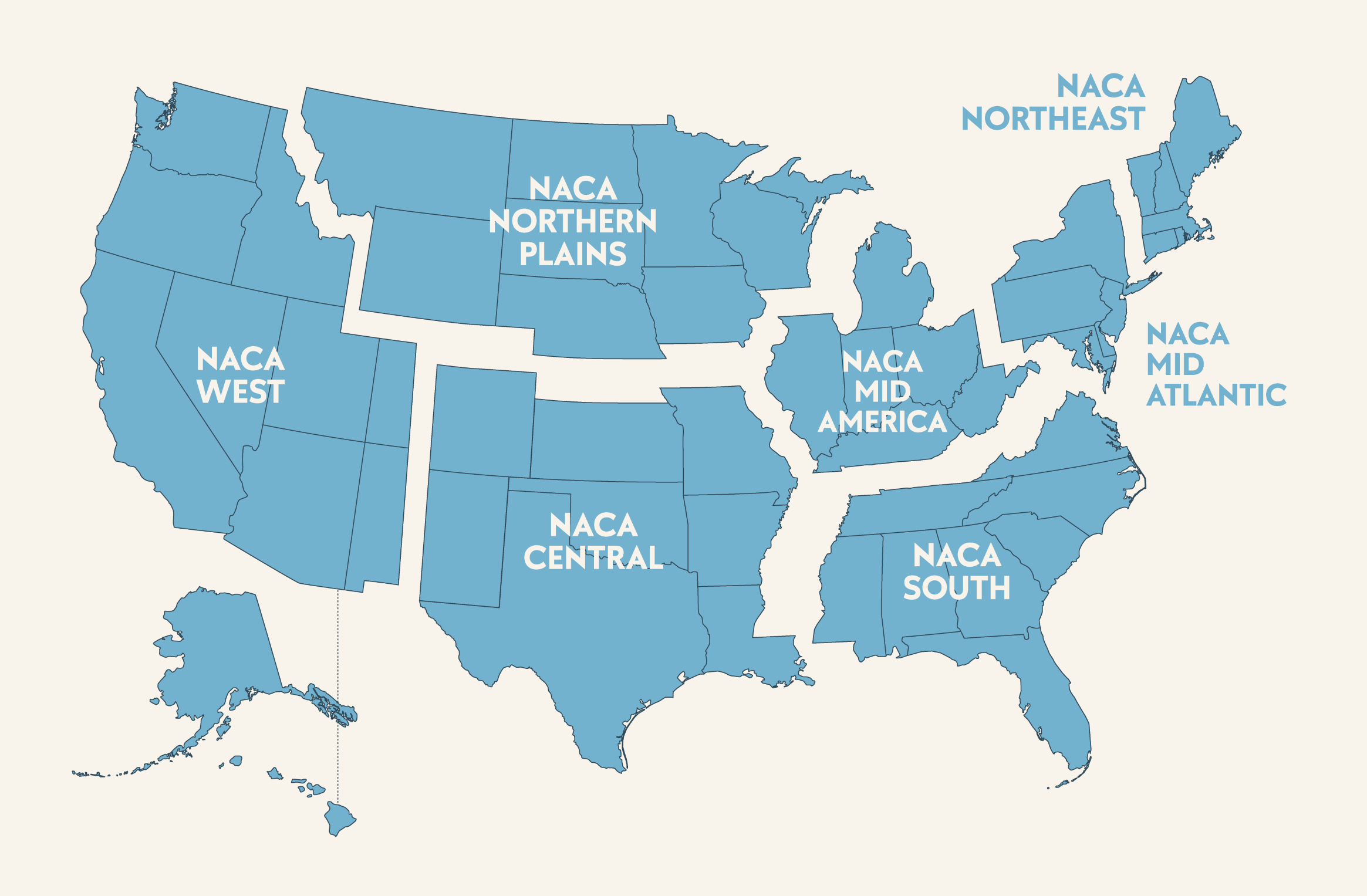
Regions
What areas are a part of each region?
View a full NACA Regions Map.
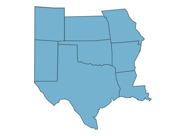
NACA Central
Colorado and New Mexico east of the 107th longitude (which roughly parallels the Rocky Mountains), Kansas, Oklahoma, Missouri, Texas, Arkansas, and Louisiana
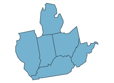
NACA Mid America
Michigan, Indiana, Ohio, West Virginia, Kentucky, and Illinois
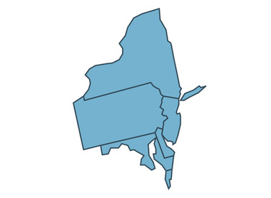
NACA Mid Atlantic
New York, Pennsylvania, New Jersey, Delaware, Maryland, Washington DC (and the surrounding metro area) and the Canadian Province of eastern Ontario
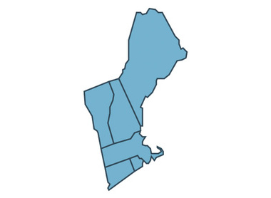
NACA Northeast
Maine, New Hampshire, Vermont, Massachusetts, Rhode Island, Connecticut, and the Canadian Provinces of New Brunswick and Quebec
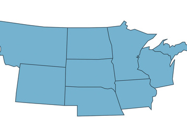
NACA Northern Plains
Montana, Wyoming, Wisconsin, the Upper Peninsula of Michigan, Nebraska, Iowa, Minnesota, North Dakota, South Dakota, and the Canadian Provinces of Alberta, Saskatchewan, Manitoba, and western Ontario
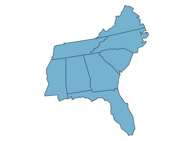
NACA South
Virginia (south of metro Washington DC), North Carolina, South Carolina, Georgia, Florida, Alabama, Tennessee, Mississippi, and US & British Virgin Islands
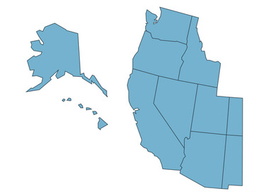
NACA West
Alaska, Hawaii, Washington, Oregon, California, Nevada, Idaho, Arizona, Utah, Colorado, New Mexico, west of the 107th longitude (which roughly parallels the Rocky Mountains) and the Canadian Province of British Columbia